Sunday, February 25, 2007

Dahals in the Summan, an update

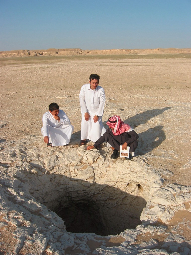
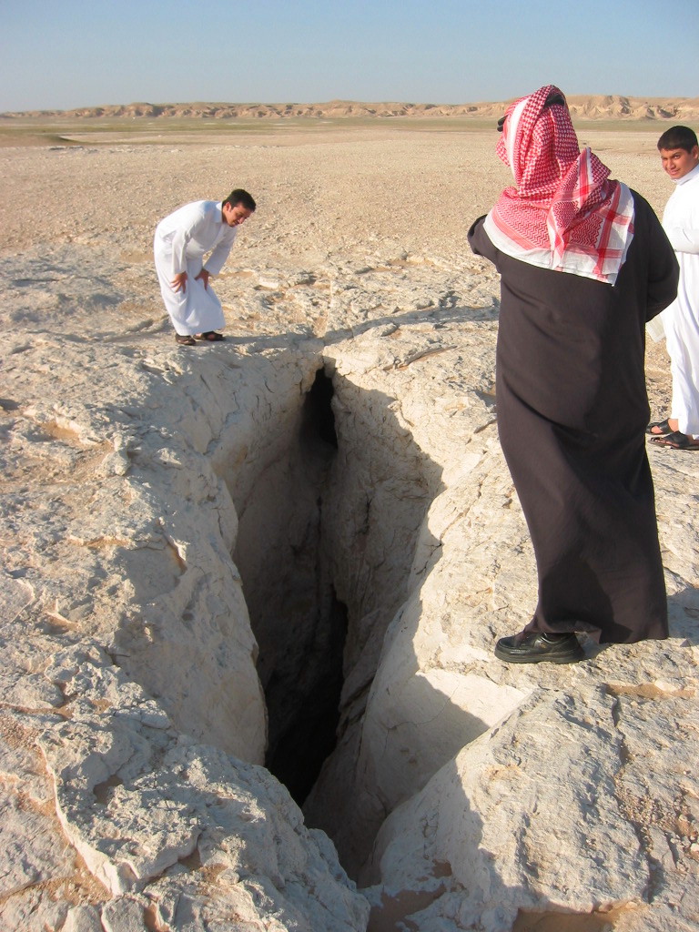
I mentioned in a previous post of our failed attempt to find a cache in one of the many sinkholes (dahals) in the Summan desert plateau because of lack of proper gear. Well, I’m happy to report that this time we bagged the cache with ease. We left on a Thursday morning from Riyadh to Rumah on the Riyadh-Dammam highway. We first made a stop at SACO store and purchased a foldable ladder but were not sure if it will fit within the hole opening and had some doubts about its length. The drive was a scenic one and the desert was in full bloom after the rainy season.

We first made a stop at Dahal Shawiyah (GCE180) and descended quickly into the upper and lower chamber without looking at the cache description/pictures. That proved to be a mistake. Our search for the cache in the lower chamber did not turn into any find so after a while we quit and decided to leave and headed north to the Mines of Moria cache (GC8069).

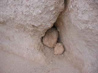
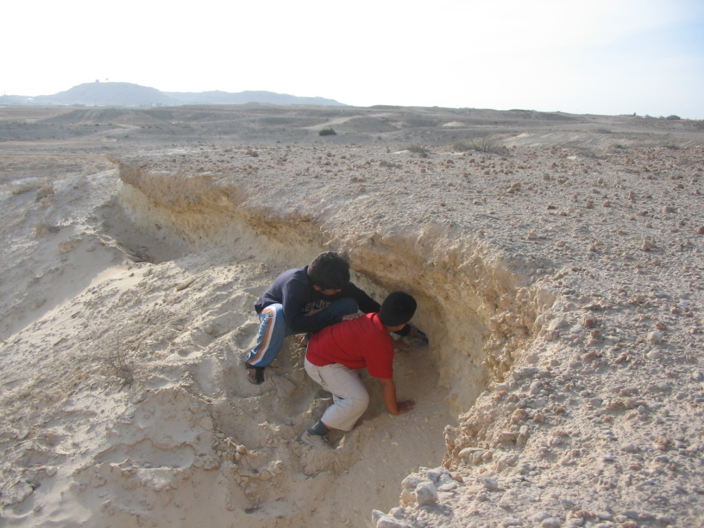
Arriving on site, we lowered the ladder easily into the Dahal but it was a little short so we tied it with a rope hooked to our car. I was accompanied by two of my cousins and both were eager to go down. They used the rope to reach the top of the ladder and descended easily. After reaching the bottom, Abu Talal was a little hesitant to grab the cache box so that task went to the hard-headed regular geocacher, cousin Hamad.

We then took a tour of the nearby garden (Rawdat Ma’aqla) before leaving the area. The tarmac continues north to Al-Rafee'ah but we took a short cut across the Dhana dunes that cross it from east to south west along a line parallel to the newly constructed power line. I read about this road (about 64km) in mekshat website. The journey across the dunes was beautiful at this time of the year. Our trip did not stop here as we continued to Al-Tenhat but that is a subject of a new post coming soon.

Wednesday, February 14, 2007

Tarut Fort


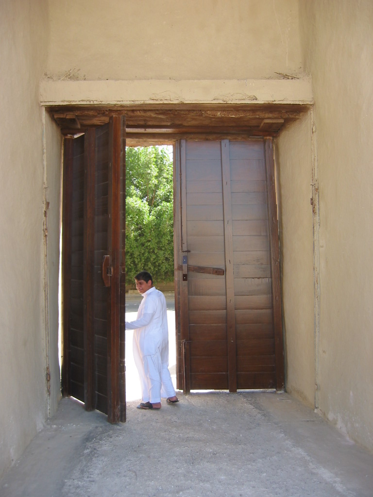
This is a trip that will take you back in time. I have been to this island many times before but nowadays I could hardly feel it’s an island. The narrow land bridge that used to separate the island of Tarut from the mainland is hardly visible. There is a newly constructed bridge to the south that connects Qatif to Darin. The central part of the island is famous for its Fort located at around N 26.34.240 E 50.03.828 .


"The fort is believed to have been built by the Portuguese in 1592 … It sits on a mound formed by successive layers of occupation, reaching back to the third millennium. The earliest references to the Land of Dilmun are nowadays taken to mean this part of the mainland of Saudi ..." Jon Carter reports in his book Desert Treks from Al-Khobar.

There is a rich history that surrounds this island and is interesting as you will see a different face of Saudi that you don't normally see in the big cities. It is somewhat reminiscent of Bahrain which is not surprising as the two places are close to each other. A drive through the narrow streets of the island is a pleasant one. In the old days I used to visit the famous dhow harbor at Darin, at the southern tip of the island, which until recently was site for traditional boat building. Qasr or Palace of Ibrahim was once standing here in testimony to the wealth of the people who lived in this island. Unfortunately it is now gone. Sanabis is a small fishing harbor to the north with old buildings around. I decided to hide my cache here but later I learned that this was not a good place to hide. So I moved it a little to the west but it was later washed ashore. So finally I moved it south where it rests in peace, for now at least.

Monday, January 29, 2007

إطلاق بقة السفر الخاصة بمرض السكري

أطلق موقع الجيوكاشنج بقة السفر الخاصة بمرض السكري حيث قام بإطلاق عشرون ألف بقة ونشرها مجانا بين اللاعبين لإخفاءها في كنوز حول العالم من أجل زيادة الوعي بهذا المرض ومسبباته وطرق التعامل معه

ماذا تعنى بقة السفر ؟ (Travel Bug)

ببساطة هي بطاقة على شكل عروة معدنية لتعليق أي غرض آخر بها كما تحمل رقما خاصا يتم متابعتها به عن طريق موقع الجيوكاشنج. يتم وضع البقة في الكنز إما بواسطة صاحبه الذي أخفاه أو أحد الذين وجدوه. تصبح البقة بعدها نوع من المسافر المجاني أو الهيتشهايكر حيث تنتقل من كنز لآخر بناء على تعليمات صاحب البقة

لكل بقة تقريبا مهمة إقترحها صاحبها وعلى من يأخذها أن ينفذ جزءا من تلك المهمة أو يتركها في مكانها. يمكن طلب البقة من موقع الجيوكاشنج حيث تصل الى صاحبها في نسختين ليضع واحدة في الكنز الذي يريد ويحتفظ بالنسخة الأخرى كتذكار. سيكون هناك صفحة خاصة بالبقة على موقع الجيوكاشنج ليضع بها صاحبها تفاصيل المهمة التي يرغب أن تحققها البقة وأيضا ليطلع على تحركاتها بعد أن يجدها اللاعبون. مع الوقت تصبح هذه الصفحة كأحد المدونات التي تحكي قصة تلك البقة وهي تتنقل في أنحاء المعمورة. بعض البق له أهداف إجتماعية مثل تلك التي أطلقها حديثا موقع الجيوكاشنج الخاصة بمرض السكري. إستلمت واحدة منها وسأقوم بإخفائها في أحد الكنوز قريبا
..
وأخيرا قمت بوضع بقة السفر في كنز قلعة تاروت .. أرجوا أن يبقى هذا الكنز مدة أطول من مخبئيه السابقين، على الأقل حتى يلتقط البقه أحد اللاعبين.

Friday, January 05, 2007

Edge of the world; Un update.

Last time I visited the place (October, 2006), I stashed a cache there but I forgot about at least two other caches that were hidden nearby. One of them is only few hundred meters from the one I hid. So I decided to go back again and visit the place with my cousin Hamad. Unlike our previous trips, this time we left early morning at around 8:00 a.m. We went up north on salboukh road and passed by Jubaila and Oyaynah before stopping at the eastern side of Mosaygra mountain. This place was chosen by historian Alsha’ye as the site of the battle field where the army of Khaled Bin AlWaleed defeated their enemies some 14 centuries ago.


Site of ancient battlefield
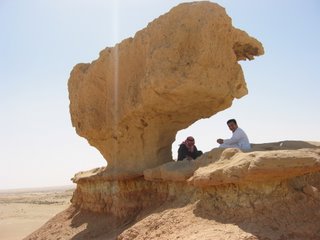
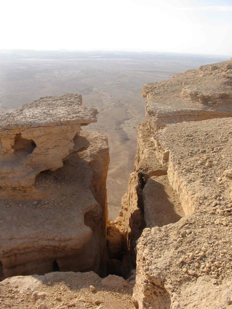
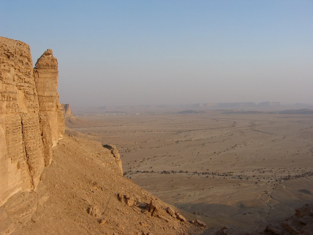
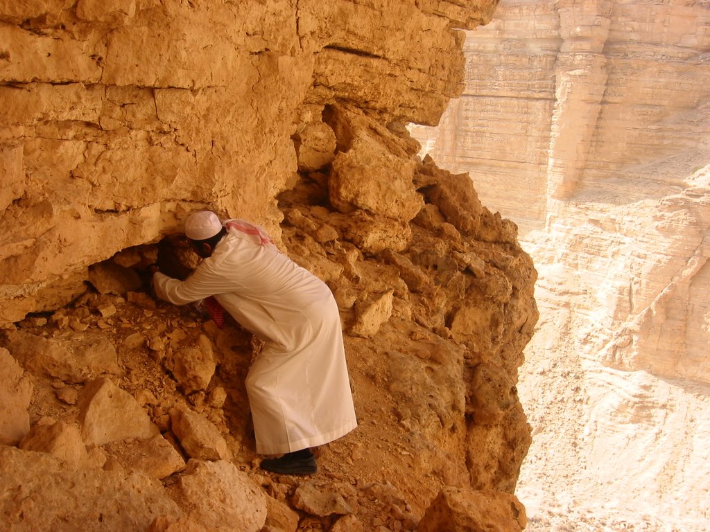
We continued through acacia valley and arrived at the escarpment edge but stopped 2km short of edge of the world. We climbed up and walked for about 1.2km to bag "U Cairn do it". We came back and drove to the edge to bag the old cache at edge of the world. We then retreated south east to the park ranger station and went on a westerly direction till we reached the famous Ohaysee opening. It was actually more than an opening since the highland gradually descends and suddenly we found ourselves on the valley floor on the west side heading to Dhruma. We returned back few kilometers to look for the military stash cache but could not find any traceable route so gave up on that one. On our way following the East-West pipeline to the tarmac road we stopped for our lunch; liver cooked to perfection followed by tea. We then continued to Marat and arrived just in time before sunset to replace the cache there which was reported to be missing. We finished our trip and returned to Riyadh by 7:15 p.m.

Tuesday, November 14, 2006

400 years old cache


Ok .. geocaching might have started only few years ago but here is a story of cache that is 400 years old. The area is Summan, known for its sinkholes or Dahals.

One particular dahal known as Abu Marwah is located at N 26 26.964 E 47 13.323. This would be just like any other dahal except for one difference. An old cache was hidden here about four centuries ago. The story goes like this: A famous local poet known by the name of Rashed AlKhalawi hide his rifle, when he grew old, in this dahal. He talked to his son about it but only vaguely. In doing so, he described the cache in a short poem (no GPS coordinates). When the son grew up, he went to the place and recovered his father's rifle and replied to his father poem with one line where he mentioned this dahal as the hiding place.

I read the story in a local history book and so decided to visit the place. My cousin and I left Riyadh on a chilly morning in January and drove to Rumah, the old town north east of Riyadh. We then drove in a northerly direction and crossed the red dunes of Dhana and arrived at Shaw'yah, a very small settlement on the southern edge of the Summan.

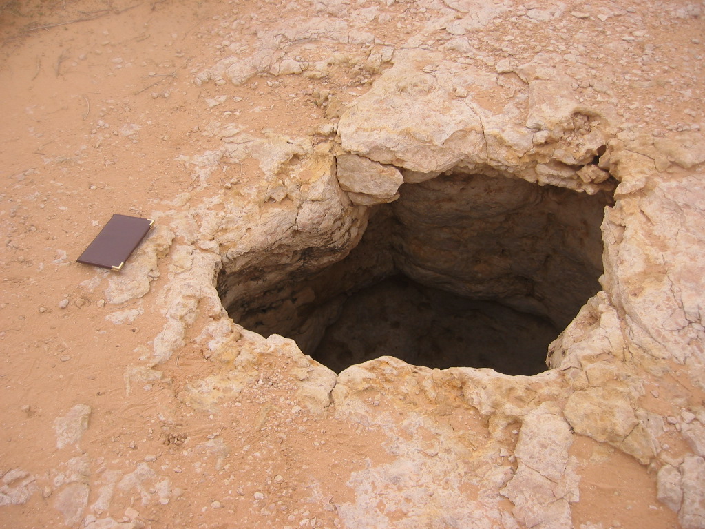
Our dahal was nine kilometres north of Shaw'yah and it was bigger than we expected. The surface probably collapsed making a big hole of about 20m across. Concrete pillars were put on the perimeter to protect motorists from accidentally falling into it.


We went down a little to check it out and found plants growing. These sinkholes were valuable sources of water for old caravans travelling in the desert. Unlike the poet who hid his rifle, we decided to stash our cache few hundred meters to the east of the dahal.

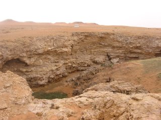
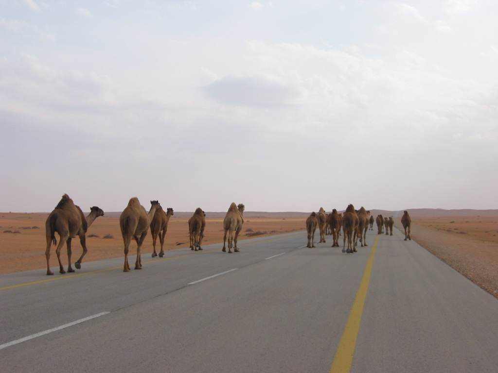
We then continued north and found another set of dahls where a cache was hidden here. Unfortunately we had no gear to climb down and so took some pictures instead. On our way back, we came across a herd of camels and gave them the right of way.
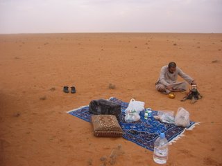
We stopped for making tea on one of the beautiful dunes of dhana desert before calling it off for the day.

Thursday, November 09, 2006

AlHasa

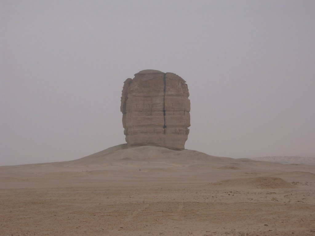
إستمرارا لرحلتنا السابقة الى حنيذ، قررنا هذه المرة أن نتجه جنوبا الى الأحساء وواحتها العظيمة. إنطلقنا صباحا بعد أن أخذنا عدتنا معنا وتوقفنا أولا لنبحث عن الكنز المعروف ببوابة الأحساء والذي كنت قد خبأته سابقا. كان هناك جسم غريب وكأنه من عالم آخر يحرس البواية (انظر الصورة) لكنه لم يستطع أن يوقفنا عن الوصول الى الكنز وإيجاده.

الإنطباع السائد الذي كنت أحمله عن المنطقة الشرقية بأنها مملة وبدون أي تضاريس تلفت الإنتباه ليس صحيحا هنا في هذه الواحة القديمة فتشكيلات الصخور الجيرية تبرز واضحة قبل الوصول الى الأحساء. بعد العثور على الكنز من قبل عبدالله والتقاط بعض الصور اتجهنا غربا الى موقع الكنز الثاني والذي يقع في مدخل الأحساء للقادم من الرياض. لم يستطع أعضاء الفريق إيجاد الكنز بسهولة لأنه كان على قمة صخرة حيث لم يخطر في بالهم أن يقوموا ببعض التسلق. وجدناعشا فيه بعض البيض وسط الصخرة حيث اعتقد البعض أن الكنز مخبأ في ذلك العش.

بعدها أتجهنا الى قصر إبراهيم الشهير وتجولنا فيه بعد أن سمح لنا بعض الباكستانيين العاملين فيه بالدخول. القصر من الداخل يستحق الزيارة فعلا ويوجد به حمام على الطراز التركي ربما يكون الوحيد من نوعه في المنطقة. كما يوجد به مسجد القبة الذي تم بنائه في نهاية القرن العاشر الهجري.

مررنا بعد ذلك بسوق القيصرية أو مابقي منه للأسف بعد الحريق الذي أصابه،، أنظر الصورة وبمقدمتها لوحة الدفاع المدني بعدم التدخين

بعد ذلك انطلقنا الى القرى الشرقية لمشاهدة جبل قارة الذي تحف به أشجار النخيل من كل جهة. تجولنا داخل التجاوبف بالجبل وللأسف لم تكن نظيفة وغير مهيأة لإستقبال السياح بالرغم من الإمكانات الكبيرة التي يمكن إستغلالها هنا. بعد ذلك إنطلقنا شمالا الى مسجد جواثا وصلينا فيه. مرة أخرى لم يعجبنا وضع المكان وإهماله بالرغم من أنه من أوائل المساجد في الإسلام. وأخيرا إنطلقنا شمالا صوب قرية العيون وانحرفنا يمينا تجاه العقير لنقضي بقية المساء فوق أحد التلال الرملية حيث قمنا بإعداد العشاء على ضوء القمر وعدنا لبيوتنا قرابة الثانية عشر ليلا.

Saturday, October 28, 2006

Edge of the world

I first learned about this spectacular place in the guide book written by Ionis Thompson. I visited the place with cousin Hamad and nephew Fares in 1996, if I still remember correctly. We didn’t carry any GPSr with us at the time but it wasn’t that difficult to reach. The maps accompanying the book were clear enough.

Ten years later, I visited the place with cousin Abdulaziz. It was his first visit and the second for me. We left Riyadh around 12:30 p.m. and passed by the towns of Jubaylah & Oyaynah. Five kilometers before reaching Sadus, we took a left turn and headed west into the valley. This is the famous acacia wadi which is the main entrance from the west to the settlements on Wadi Hanifah in the ancient AlYamamah region.

Lieut. Col. Lewis Pelly, the political resident in the Persian gulf was one of the early westerners who passed though this wadi on his trip to Riyadh in 1865. He documented his trip in a report tilted “Journey to the Wahabee capital of Riyadh”.


The escarpment of Tuwaiq mountains opens up making room for traders and invaders to enter from the west. Many conquerors came through this valley including Khalid Bin AlWaleed some 1400 years ago and more recently Ibrahim Pasha who Destroyed Dir’iyah in 1818. The main gateway to the wadi is referred to as Ohaysee in historical records and locally is called “Sab Al Malaf” or seven turns. Today the only conqueror that passes through it is Yanbu east-west pipe line.


We stopped at a park ranger station to learn about the area. We then continued on a scenic drive through the wadi leading us to the escarpment. There are many vista points offering panoramic view of the plains below but the one that has been famous is the edge of the world. We stashed our cache there and took some pictures. On our way back we hid another stash in the middle of the valley. We stopped for few minutes to enjoy the place and drink our coffee before heading home. We reached Riyadh at 6:45 p.m.

Thursday, October 26, 2006

Hanidh Rock Art

كنت قد قرأت عن منطقة ثاج والهجر المحيطة بها كالصرار ونطاع وأعرف أنها كانت منطقة سكنتها حضارات قديمة. بعد إطلاعي على كتيب خاص بالرحلات البرية من المنطقة الشرقية لمؤلفه الإنجليزي جون كارتر قررت زيارة هجرة حنيذ ومشاهدة المكان الذي يحوي بعض الكتابات القديمة خاصة وأنه قد حدد الإحداثيات لها

كان صباحا باردا بعض الشئ عندما إنطلقنا في رحلتنا الشتوية لإكتشاف تلك المنطقة وهذه المرة كنا مستعدين بعض الشئ حيث قرر أعضاء الرحلة المرافقين وهم عبدالله، محمد وماجد أن نقوم بتحضير وجبة العشاء في البر لذا أخذنا معنا عدة الطبخ. لم ننس أخذ فطورنا معنا والتي قامت أم ماجد مشكورة بتحضيره وانطلقنا على طريق الرياض في العاشرة صباحا. بعد 65 كم تقريبا توقفنا لنجد الكنز الوحيد في الطريق وبسهولة. قمنا بتسجيل ملاحظاتنا في الدفتر الخاص بذلك ولم نأخذ شيئا من الكنز كما لم نترك شيئا. كان الكنز مخبأ بالقرب من صخرة فوق تلة صغيرة وللأسف تم العبث به لاحقا وقام صاحبه بإعادة إخفائه مرة أخرى ولكن في مكان مختلف لايبعد كثيرا عن المكان الأول


بعد إستراحة قصيرة وتناول الإفطار قرب الكنز إستمرينا في مواصلة الرحلة وعند وصولنا الى مفرق جودة إنحرفنا يمينا واتجهنا شمال. كنا تقريبا نسير بمحاذاة الحدود الشرقية للصمان وبعد 75كم وصلنا حنيذ. توقفنا في تلك الهجرة الصغيرة للتزود بالوقود ثم أخذنا الطريق البري غربا في داخل الصمان. عند المكان المحدد في كتيب الرحلات (6 كم عن حنيذ)، توقفنا لمشاهدة الكتابات والرسوم القديمة ووجدت أنه مكان مناسب لإخفاء كنز هنا إذ أن المكان يستحق الزيارة فعلا


بعد استراحة قصيرة واصلنا تقدمنا داخل الصمان حيث شاهدنا بعض الفياض الجميلة وأخيرا وصلنا الى الدحول المذكورة في الكتاب. إلتقطنا بعض الصور وعدنا محملين بالكثير من الذكريات الجميلة وطبعا لم ننس أن نتوقف مساء لتحضير وجبة العشاء التي أتقنها عبدالله. وصلنا بيوتنا قرابة الثانية عشر ليلا بعد رحلة ممتعة


Devil's Thumb

I read about this peculiar rock formation from an old scout book published by Aramco, many years ago and handed over to me by a fellow worker, Gary Robinson. The thumb is about 160km from Dammam near the old town of Judah. On a clear day, it can be seen from a distance of tens of kilometers away. In spite of the many trips I took to Riyadh, I didn’t pay attention to this rock which sticks up like a sour thumb. The name of Devil’s thumb was given by Aramco scouting group in Dhahran. It must have been a favorite place for them to camp there.

One day while coming back from Riyadh, it occurred to me that this must be a good place to hide a cache. So I took a turn off the highway at Judah and proceeded to the thumb. Since this was not planned, I used a traditional metallic container (Bustook, used to store honey or butter) for the cache, which I got from the nearest gas station.

I drove on hard desert tracks till I arrived at the thumb. The place below the rock is so visible and judging from the leftovers nearby, I decided the thumb was not the place to hide the cache. It was exposed at the bottom from all direction, so I opted to go to the nearby escarpment which I could see from a distance in the north. I reached the closest canyon and found a terrific hiding place and there I stashed my cache.

Cache before hiding
Cache after hiding
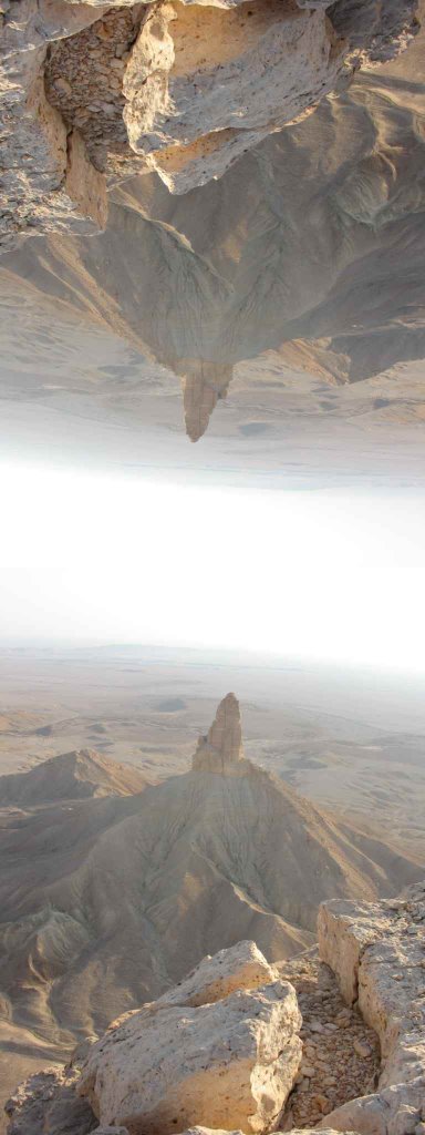
It’s a great place for camping, as there are many interesting rock formations and even some caves. Later I discovered that this odd looking rock formation was photographed decades ago by early Aramcons and it was a favorite thanksgiving camping spot.

Monday, October 23, 2006

Bahrain caches

There is little geocaching activity on the island of Bahrain. It is a short drive from where I live in Dammam so I decided to give it a try. This time I was not accompanied by my cousin Hamad; instead I had the help of my own kids and what a help .. three caches were struck in one day.

The girls with their mother decided to go for shopping while the boys decided to go with me. We stopped at Costa coffee before heading to the center of the island. We started with Oil#1 well. The drive southward was a nice one on a cool December day. The cache was found in no time by my kids and we were the first to find it.

The cache is hidden near the first oil well in Bahrain. The rock formations remind me of the area around Dhahran in Saudi. In fact, the resemblance of the geology structure (salt dome) hinted to early explorers that they look further to the west, to Saudi territory. They struck gold there when they drilled through the famous Dammam#7 in Dhahran and the rest is history.

After that, we headed to the second cache which was very close by. The area nearby was full of campers. My younger son found the cache in no time. It was buried in the sand .. not a very good hiding place. I don’t expect this cache to last for a long time.
We then continued to the Tree of life. We stopped at the famous tree which was actually less than my expectation despite the publicity about it. The cache itself was hidden on a hill few hundred meters from the tree. We climbed to the top (easy climb) and did a thorough search ... we almost gave up but then it occurred to me that the cache could be on the flank and so went down a little and indeed there it was.

We returned that day to our hotel happy, knowing that we bagged three caches in one shot and hoping that we can do it again.

Camel trails; follow up


For those who are wondering, here is an image of google earth showing relative locations of the four different trails through Tuwaiq mountain range that I talked about earlier. All four caches hidden are mutlicaches (except for #2) with first part hidden at the top and the second part stashed at the bottom. It takes few hours to bag each. All four caches are close to Riyadh center. A graded track (visible in the image) before the Giddiyyah descent turns right and leads to three of the trails. Trail#1 can be reached by another track to the left of the descent.

Thursday, October 19, 2006

Camel trail #3

من بين دروب القوافل الأربعة التي زرتها، ربما هذا هو أكثرها مشقة في النزول. صعوبة هذا الكاش كانت نجمتان ونصف، علما بأن صاحب الكاش قد نبه الى أن هذا الكنز غير مناسب للعوائل مع الأطفال كما أن اللاعب عليه أن يحضّر نفسه لأن يغيب عن سيارته لمدة ساعة ونصف على الأقل.

كان يوما حارا في أغسطس عندما قررت مع حمد أن نكشف هذا الكنز وهكذا غادرنا الرياض بعد الظهر بقليل. مررنا كالعادة على بندة بشارع التخصصي للتزود بالمشروبات الباردة وأخذ علبة الغداء والتى لم تزد عن صحن السلطة. كان معنا هذه المرة ثلاجة صغيرة في سيارتي اللاندروفر ملأناها بعلب الماء البارد، بعض البيرة وكثير من الحليب. نسيت أن أذكر أن حمد يعيش على الحليب والسجائر وأحيانا بعض السلطة عندما أكون معه. أما عني فأنا لاأدخن ولا أحب الحليب، لكن يجمعنا حب الجيوكاشنج.

بعد مشوار قصير وصلنا قمة الجبل حيث وجدنا الجزء الأول من الكنز بسهولة وأدخلنا مباشرة الإحداثيات الجديدة للجزء الأخير من الكنز في جهازي ثم بدءنا مشوار النزول والذي لم يكن سهلا أبدا. كان علينا أن ننزل ملاصقين لسفح الجبل إذ لم يكن هناك طريق غير ذلك سوى الهاوية العمودية تقريبا وكنت أحمل معي الكاميرا التي تلازمني دائما زائدا قوارير الماء، واضعا إياها في جيبي. على عكس درب القوافل رقم 1 و 4، لم أستطع أن أتبين ملامح درب للقوافل هنا، أثناء نزولنا. صاحب الكنز يبدو أكثر إقتناعا مني بأن هذا فعلا كان درب للقوافل ويرى أنه أكثر قدما من الآخرين وأن بعض أجزاءه قد اندثرت مع الزمن، ويوافقه حمد في ذلك.

في أسفل الجبل وصلنا الى موقع الكنز والذي وجده حمد بعد بحث قصير مخبأ في إبريق قهوة قريبا من صخرة كبيرة أسماها صاحب الكنز بصخرة الجبن لمشابهتها قطعة الجبن التي نراها عادة في أفلام الكرتون. بعد إستراحة قصيرة بدأنا الطلوع مرة أخرى ووصلنا أعلى الجبل ونحن منهكين من التعب. تناولنا مشروباتنا الباردة واستمتعنا بمنظر الشمس وهي تغرب تحتنا في الوادي ثم عدنا أدراجنا الى الرياض.

Monday, October 09, 2006

The Chameleon

Not far from camel trail4 is this cache. It has one of the best views I’ve seen along the Tuwaiq escarpment. What makes this place a special one is the superb view you get for Faisal pinnacle. This is a landmark feature separated from the main mountain range. I have been to this place many years ago without a GPS but now it’s even more interesting with a cache hidden here. The drive is straightforward along the top of the mountain and is about 20km from the exit of Makkah highway just before the descent (Giddiyyah). We were rewarded with one of the best vista points overlooking a panoramic view of the pinnacle and the landscape below. The pictures to the left and below are just a sample of what to expect.


Another special thing about this cache is the way it’s hidden. This got to be one of those puzzles where you keep looking for the treasure and it is right below your feet. The cache is not only hidden between rocks but it is also a rock adding another dimension of difficulty to finding this treasure. The difficulty rating was 4* and we were lucky to find the cache in no time.

Saturday, October 07, 2006

Camel trail #4:

I remember walking through this trail few years ago with my cousin. We came here using Ionis Thompson’s book which did not include any GPS info at the time. The directions were clear enough for me and my partner to reach the exact trail and walk through it to the top. He was carrying a video camera and made a nice home video of it. The trail was only visible at some places. Near the top it was horizontal and easy to walk. In fact there is even a large flat space as you approach the top of the trail, probably some resting place for the caravans after a long climb.

We cooked our dinner at the base of the trail not far from the famous landmark named by Thompson as Faisal pinnacle. Two years later we came back to the top part of the trail to claim the first part of the cache. I then retreated to my home in Dammam. Few months later, I visited the place after securing the coordinates of the final leg and climbed the trail again. The cache was hidden near a cliff and so got us wondering where it was but my cousin finally got it. Actually his picture reaching out for the prize is the one on the cover page of the Today’s Cacher and is shown above.

Thursday, October 05, 2006

Geocaching

The sport where You are the search engine

فكرة الجيوكاشنج حديثة وبسيطة وممتعة، كما أنها تلائم جميع الأعمار وهي في نفس الوقت غير مكلفة ... تحتاج فقط الى جهاز(جي بي إس) ، سعره تقريبا مثل سعر الهاتف الجوال، وتصفح للإنترنت
.
يقوم أحدهم بإخفاء شئ ما (عادة يتخذ شكل علبة صغيرة تحوي قلم وورقة وربما هدية رمزية) في مكان ما، (يفضل أن يكون هذا المكان يستحق الزيارة) ..يقوم بعدها اللاعب بتسجيل إحداثيات المكان (خط الطول والعرض) ووضعها على الإنترنت ليطلع عليها الآخرون ثم يبدؤا عملية البحث عن تلك العلبة أو الكنز المخبأ .. عندما تجد الكنز تسجل أي ملاحظة في الورقة الموجودة مع الكنز وتأخذ الهدية الموجودة إذا أردت، على أن تضع شيئا رمزيا بدلا مما أخذته.

بدأت الفكرة بكنز واحد في أمريكا منتصف عام 2000 ، واليوم يوجد هناك أكثر من ثلاثمائة ألف كنز تقريبا مخبأة في أكثر من مائتين بلد حول العالم، نصيبنا منها في السعودية 130 حتى تاريخ كتابة هذه الأسطر

هناك أشكال مختلفة يمكن أن يتخذها الكنز، فمثلا هناك الكنز المتعدد فبدلا من إعطاء إحداثية لكنز واحد، يمكن أن تكون الإحداثية المعطاة على الإنترنت بداية لسلسلة من الإحداثيات تؤدي في النهاية الى الكنز.. كما أن هناك الكنز اللغزحيث يتطلب الوصول الى الكنز حل لغز ما، بعد الحصول على الإحداثية وهكذا .. وباختصار هي رياضة يكون فيها اللاعب ماكينة البحث

هناك إمكانات غير محدودة لهذه اللعبة وهي قابلة للنمو والإستخدام بشكل مذهل في مجالات متعددة مثل التعليم والآثار والمحافظة على البيئة وفي ترويج السياحة والسفر ..وجدت كما خبأت كنوزا في سيريلانكا، جزر المالديف، بوكيت وشانجماي بتايلند والبحرين والإمارات وقطر فضلا عن السعودية،
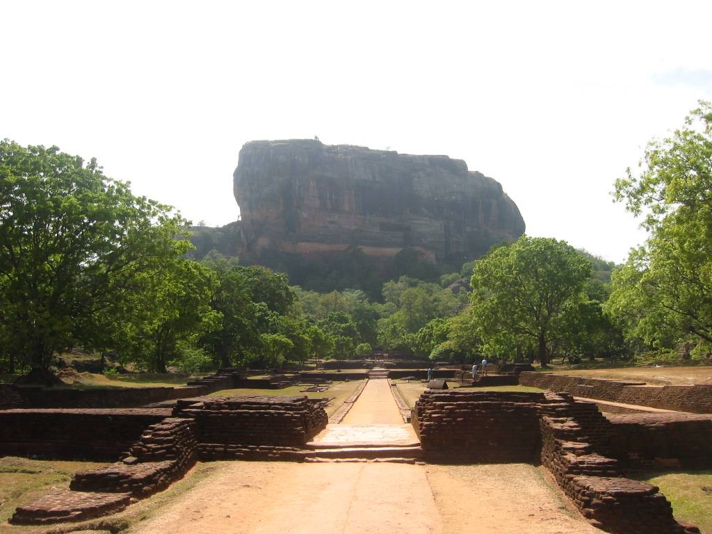
هنا مثال لكنز إفتراضي وضعته أثناء رحلتي الى سيرلانكا


كما سترى فإن الكنز مخبأ في معلم سياحي مشهور والمستفيد الأول من ذلك هو الجهة المسؤولة عن السياحة هناك، لاحظ من سجلات المشاركين الذين وجدوا الكنز أنهم قدموا من شمال أوروبا، وبعضهم زار المنطقة أكثر من مرة

أعتقد أن الإحساس بالمغامرة عند البحث وجمع المعلومات حول موقع الكنز والنشوة المصاحبة للملاحة قبيل الوصول له هو مايميز هذه الرياضة . حسب علمي فأنا السعودي الوحيد (مع قريبي) الذي يمارس هذه الهواية هنا في السعودية حيث أن الآخرين الذين يربطني معهم حب هذه اللعبة هم من الأجانب الذين يعيشون معنا حيث تتيح لهم هذه الهواية الإنطلاق والتعرف على أماكن جميلة من بلادي ،، من المدهش أنني تعرفت على بعض الأماكن الجميلة في بلادي عن طريق الكنوز التي خبأها هؤلاء الأجانب

هذه المدونة تسجل خواطري عن هذه اللعبة وسأحاول الكتابة بالعربي لكني أجد صعوبة في ذلك على لوحة المفاتيح لذا سأضطر للكتابة بالإنجليزي أحيانا كثيرة
.
***.
شكرا للصديق العزيز عبدالله المغلوث على مقالته عن الجيوكاشنج والتي نشرت في جريدة الوطن للتعريف بهذه الرياضة ، تجدها هنا

Camel trails:


The central region of Arabia is blessed with beautiful land features that are yet to be appreciated by Saudis. One such feature is the famous Tuwaiq mountain range to the west of the capital Riyadh. It extends hundreds of kilometers from north to south.

I heard stories about ancient camel trails cutting up through the escarpment but didn’t know where to start till I discovered Ionis Thompson book “desert treks from Riyadh” few years ago. In here book, she talked about different camel trails that follow natural watercourses with man-made retaining walls made of slabs of rocks.

The escarpment is about 40km west from downtown Riyadh and is easy to reach. The whole area is populated with many caches but there are at least four caches hidden in four different trails that have been identified and frequently visited by geocachers.

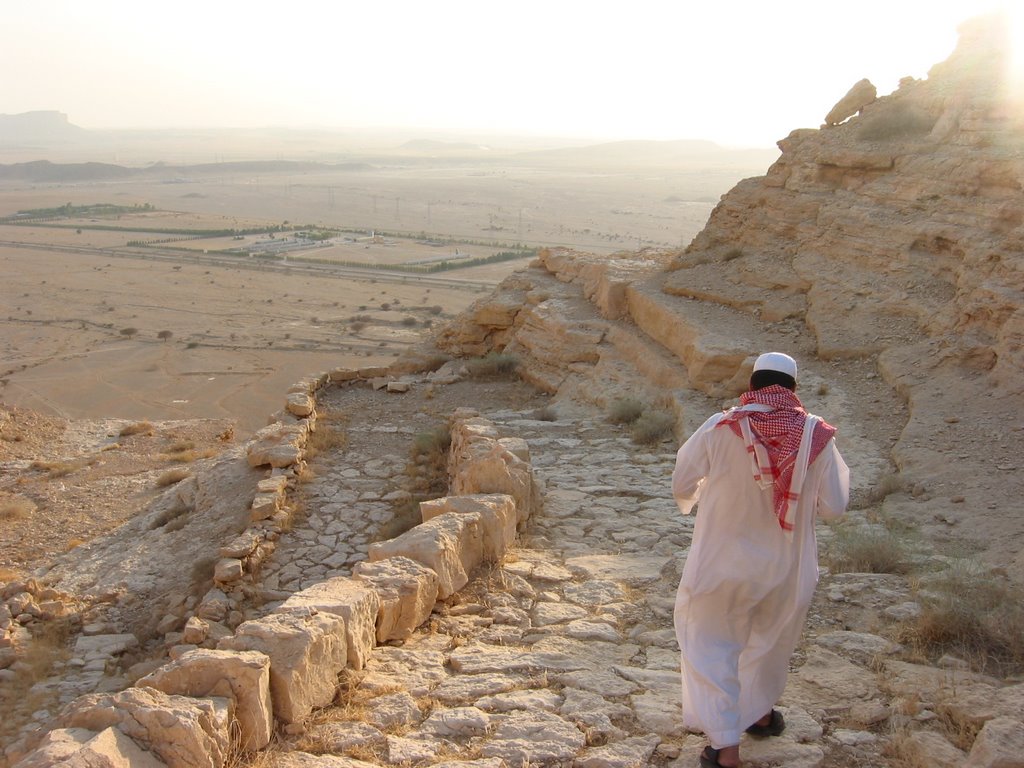
First camel trail (see pic above and to the side) is located left of the main (Makkah) road as you go west down the escarpment (Giddiyyah) and is the best preserved one. The lining of the trail with slabs of rocks and steps carved in stones signify a period of flourishing trade that took place in ancient Arabia.


Caravans of travellers from places as far as Yemen in south Arabia and pilgrims coming west from Makkah on the Red Sea moved up with camels full of loads on their backs.

All caches hidden in these trails are multicache with the first part stashed at the very top of the escarpment and the final part, as expected, smartly placed at the bottom. The four multicaches have been hidden by one of the very first geocachers in Arabia, our dear friend yet to meet, M&M.

I wrote an article on these caches which was published in the Fall 2005 issue of Today's Cacher magazine.

Wednesday, August 09, 2006

Marat:

Thomas Barger was one of the early pioneers who came to Arabia in 1937 to explore for oil. He retired 32 years later as CEO of Aramco. I remember first reading about him in an article appearing in ArabNews that talked about a book published by his son. It is a collection of letters he wrote to his wife while living in Arabia some 67 years ago. Being fascinated with such material, I went right ahead to Jarir bookstore in AlKhobar to buy the book. I had to wait for several weeks before getting the book …. I was very pleased with what I got. You see .. I have this .. passion for material relating to the recent history of this land. It developed over the last several years.

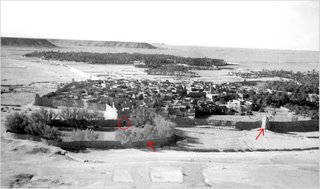
So much for that .. I will talk more about the book later, but for now I will mention that there was a picture Barger took for the town of Marat in 1939. Here is an excerpt of what he had to say about it:

“The sand in the backcountry is the reddest I've ever seen; it practically glows in the red down. There are high, bold hills with real cliffs on them rising six to eight hundred feet above the plains on the westward faces. We did not pass through many towns, but one, Marat, was as picturesque as you could wish. The earth is a reddish clay, and just outside the town is a high jabal that we climbed. We took pictures of the town spread out below us with its red-turreted walls, green gardens scattered over the plain, and the great pool in which they gather rainwater by a system of ditches."

I wanted to go to the place and see if I could recognize the surroundings. Armed with the picture, I headed with my partner, Hamad, to the town of Marat to see if we could find the jabal from which the picture was taken. The mountain range in the background was our reference point.

To our pleasant surprise, not only we were able to find the jabal but also recognize many of the features in the picture which are still standing today. The pool mentioned in the manuscript is still visible today as it was 67 years ago (lower left portion). Remains of the watchtower can be seen in the center right portion. In front of the watch tower (adjacent to the pool) is an empty ground that is still empty today. If you look closely, you could even see one of the ditches –encircled- ( no, we didn't hide the cache there but it was tempting and worth looking into).


The mountain was referred to as Jabal Marat by Barger and is the famous Jabal Kumait. The view from the top is superb and is a good family fun – If you have the original picture, bring with you & try playing "Find the differences". I stashed the cache in one of the old mud buildings appearing in the picture .. we were glad to see the ruins still standing and I wish the municipality restore them and keep them maintained.

Here is an article I wrote for the Today's Cacher on the subject.

Monday, August 07, 2006

Ok .. I must admit, I don’t like writing. I’m kind of .. lazy. Yeepp, I’m already feeling tired. But I still like to talk about this hobby of mine called geocaching. It is the sport where You are the search engine.

So far, I found 60 caches and hidden 24. Each cache has a story of its own. To talk about these stories and a little more, I created this blog. I will start with the most recent caches and work my way backward in time.

Cannibals:

I have heard and read about the cannibals or Solou cave near the little village of Barrah but never knew where it lies till I came across a post in Mekshat. It gave the coordinates of the cave and so I planned the trip with my partner and cousin Hamad. The story is interesting and and will work great for a Hollywood horror movie .. something like the Texas Chain saw massacre. It is spelled out in my cache listing.

As part of our normal routine, I checked out the general area and entered the coordinates in my new GPS unit that I bought recently. Thanks to google earth, I can now study the cache area and plan my route before jumping into my car. Since it was summer time, we head for our target in the afternoon after passing by Azizyyah store on Takhassisi road to stock on food, basically two salads and lots of cold beverages.

The cave is about 1hour drive from Riyadh heading north west. Driving was mainly on paved road except for the last 8km or so. The cave lies in the Aried mountain which stands out of the flat plains between Barrah/Raghabah on the east and Marat on the west. After some off road driving, we parked our car and walked for about 15minutes to reach the cave. It is hidden from the view and so I stashed my cache and left just in time before the cannibals return. :)

Naturally, we were not in the mood to eat but since meat was not on the menu, we decided to have our salads anyway. We finished our trip by enjoying the sunset over the red dunes to the west .. the atmosphere was absolutely beautiful .. the night was clear and calm, we spent the next 3 hours on the wadi floor, gazing at the stars and listening to the filtered voice of Fairouz and her music.