 I first learned about this spectacular place in the guide book written by Ionis Thompson. I visited the place with cousin Hamad and nephew Fares in 1996, if I still remember correctly. We didn’t carry any GPSr with us at the time but it wasn’t that difficult to reach. The maps accompanying the book were clear enough.
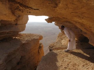
 Ten years later, I visited the place with cousin Abdulaziz. It was his first visit and the second for me. We left Riyadh around 12:30 p.m. and passed by the towns of Jubaylah & Oyaynah. Five kilometers before reaching Sadus, we took a left turn and headed west into the valley. This is the famous acacia wadi which is the main entrance from the west to the settlements on Wadi Hanifah in the ancient AlYamamah region.
Lieut. Col. Lewis Pelly, the political resident in the Persian gulf was one of the early westerners who passed though this wadi on his trip to Riyadh in 1865. He documented his trip in a report tilted “Journey to the Wahabee capital of Riyadh”.
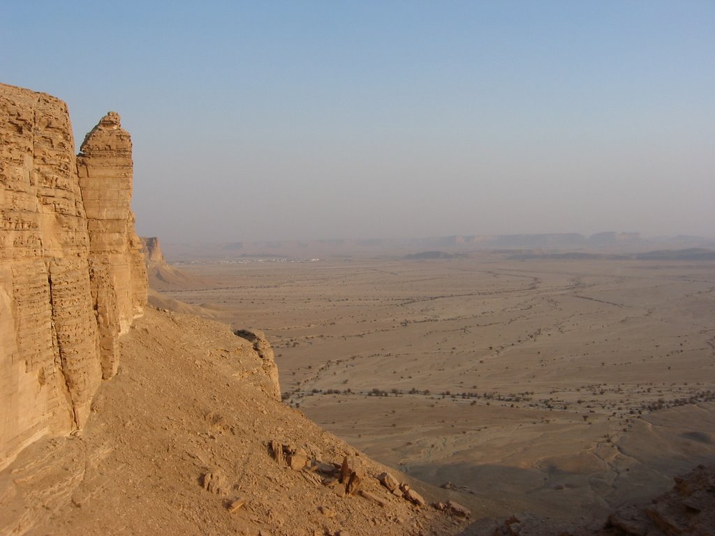
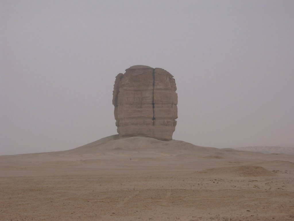
The escarpment of Tuwaiq mountains opens up making room for traders and invaders to enter from the west. Many conquerors came through this valley including Khalid Bin AlWaleed some 1400 years ago and more recently Ibrahim Pasha who Destroyed Dir’iyah in 1818. The main gateway to the wadi is referred to as Ohaysee in historical records and locally is called “Sab Al Malaf” or seven turns. Today the only conqueror that passes through it is Yanbu east-west pipe line.
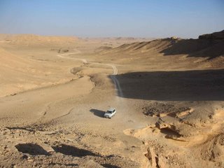
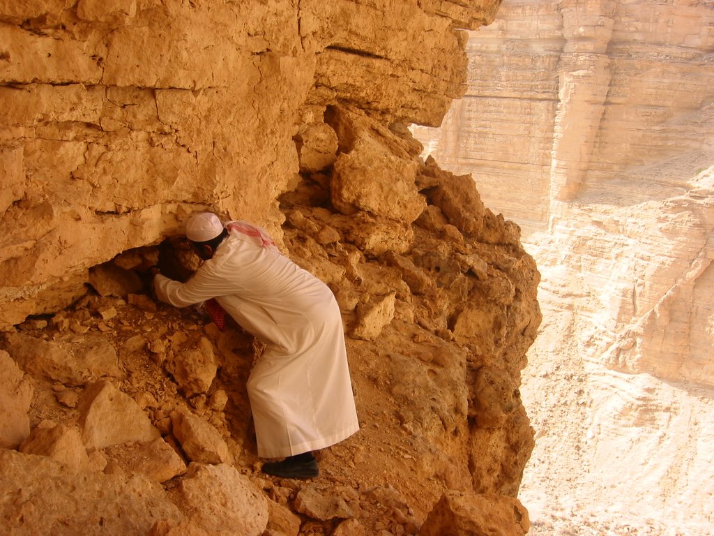
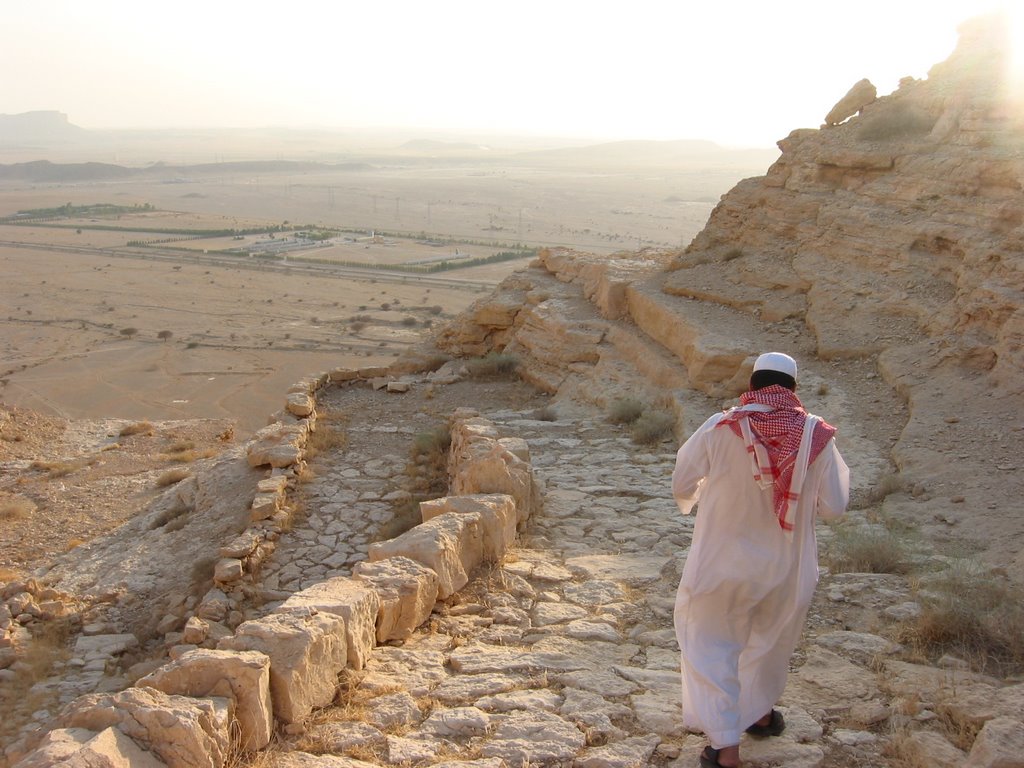
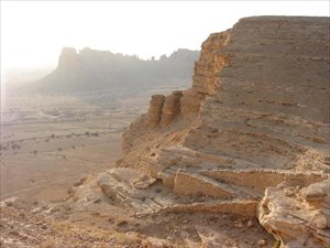
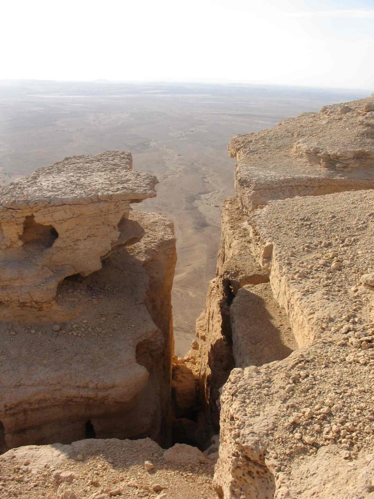
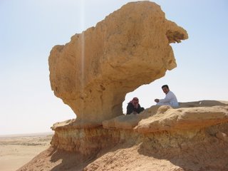
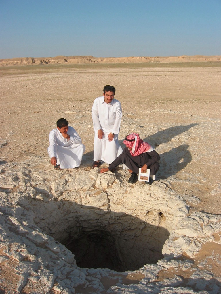
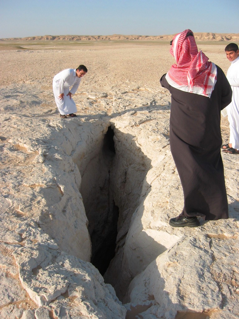
We stopped at a park ranger station to learn about the area. We then continued on a scenic drive through the wadi leading us to the escarpment. There are many vista points offering panoramic view of the plains below but the one that has been famous is the edge of the world. We stashed our cache there and took some pictures. On our way back we hid another stash in the middle of the valley. We stopped for few minutes to enjoy the place and drink our coffee before heading home. We reached Riyadh at 6:45 p.m.

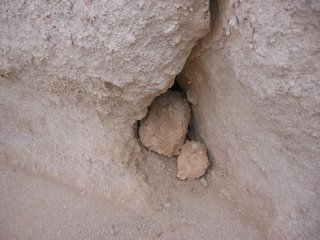
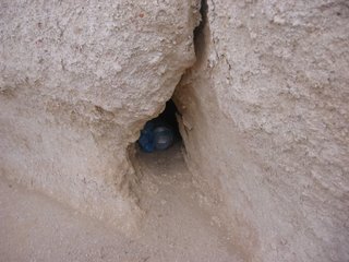 Cache after hiding
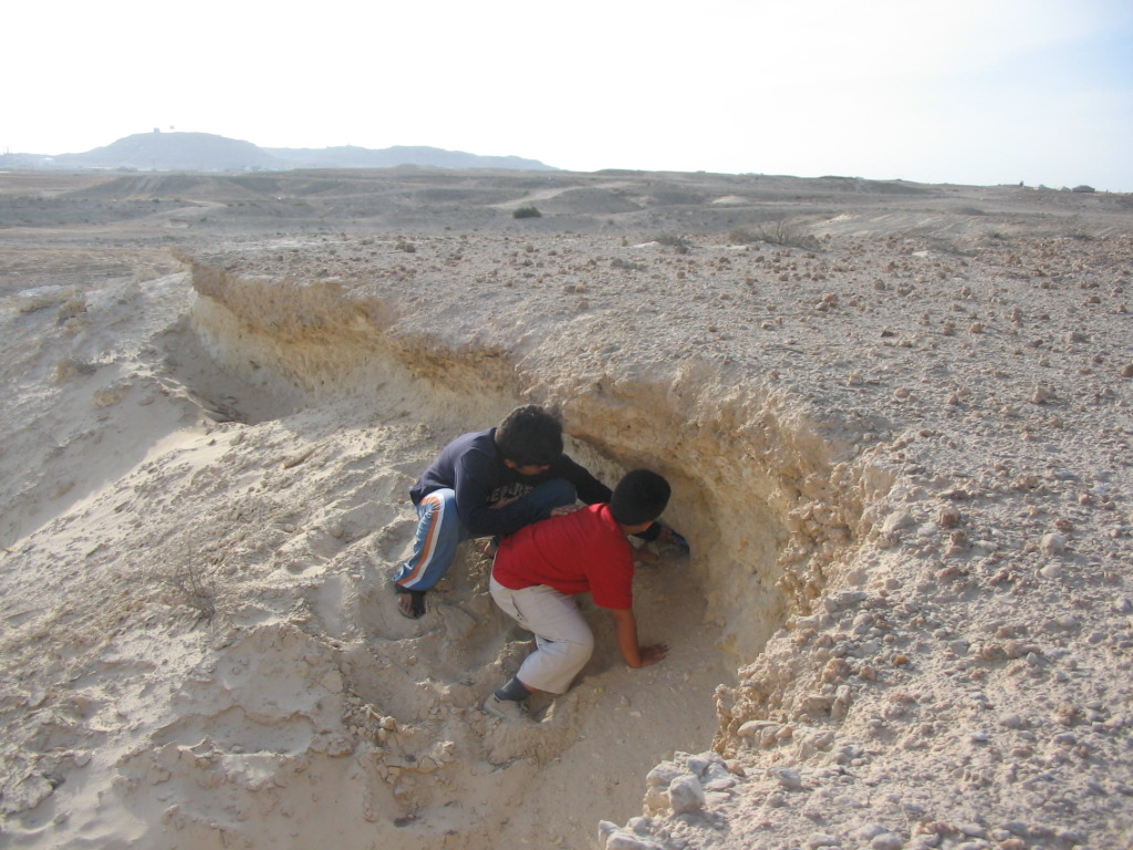